MapFan API

MapFan API uses high-quality location data.
Features such as map display, pedestrian flow analysis, route search, and search.
This is a cloud service for businesses that can be implemented.

In diversifying businesses
Flexible digital maps for businesses

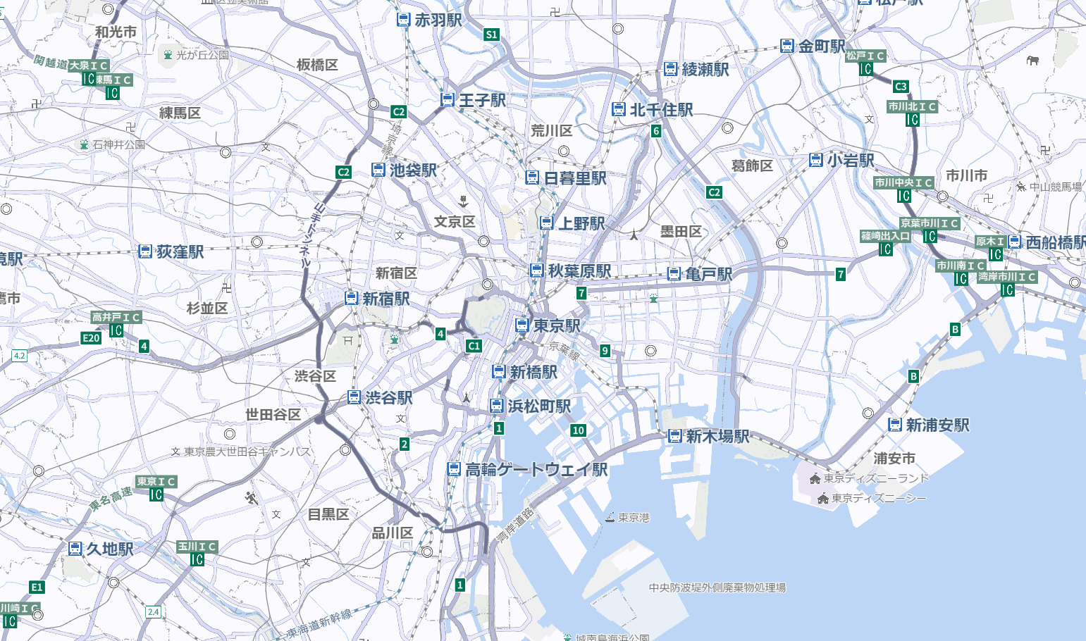
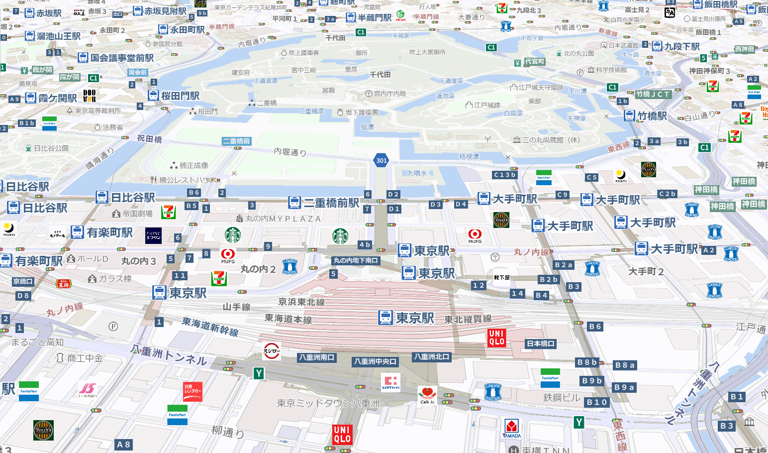
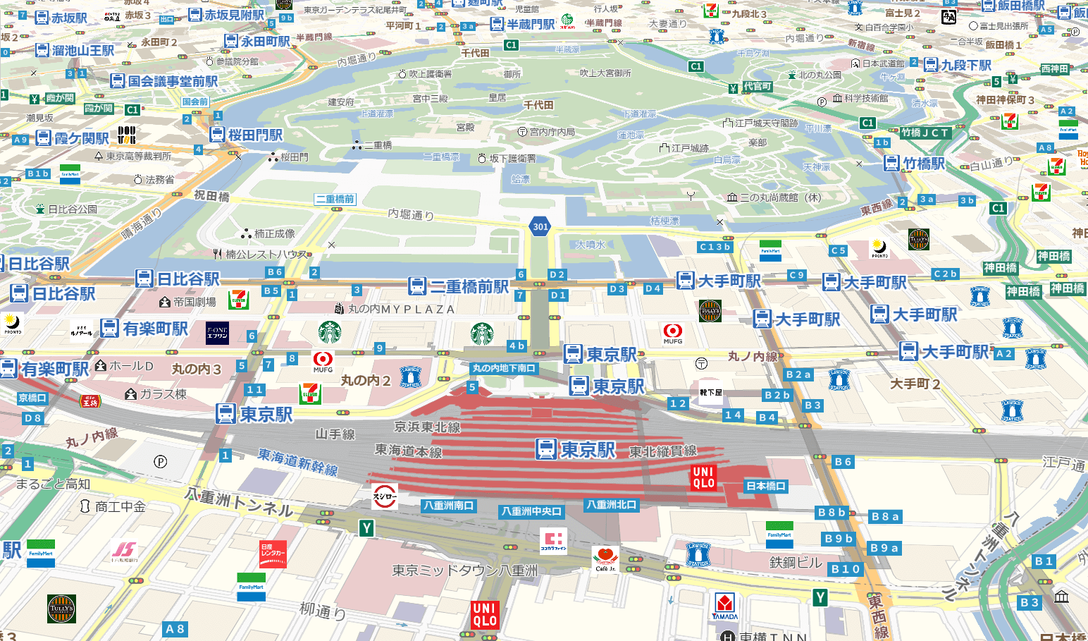
MapFan API is a map information distribution service that allows you to use map display, route search, address search, and more on your web systems and websites. With its proven route search capabilities (as used in car navigation systems), a wide variety of maps, and smooth scaling and rotation using vector maps, this highly customizable API supports the realization of your system. It also supports multilingual map information to accommodate the increasing number of foreign tourists, allowing for the display of place names, building names, and facility names in 13 countries (14 languages).

Furthermore, in addition to conventional delivery planning, fleet management, property management, and store information, by obtaining road traffic volume estimated from our own human mobility data, it can be used for a wide range of purposes, from market area analysis to store opening planning.

Features

01 Basic functions utilizing location information

You can enjoy a variety of functions using map data that holds the No. 1 market share in the commercially available car navigation market* and is also used by major platform providers, including map display (raster maps, vector maps), various geocoding methods (address search, location name search, etc.), reverse geocoding from address names, route search, geodetic system conversion, map matching, and traffic congestion information distribution.
*Company research

02 Acquiring road traffic data enables market area analysis.

By matching GeoTechnologies' nationwide road network data of approximately 1.9 million km* with high-density pedestrian flow data obtained from the M2E app "Torima," which has 2 million daily active users*, we can obtain traffic volume data at the road level.
*As of March 2026

03 Monochrome design (raster map) ideal for printing maps, and flexibility in print usage licenses.

Printing for business purposes is available immediately.
Please check here for more details.

Usage scenarios

MapFan API can be used to access data from websites to internal systems, outdoor digital signage, and more.
It can be used in a variety of situations.
Here are some examples of how it can be used.

Why not try using GeoTechnologies' MapFan API?

List of features

Map

Map display (raster map)

You can obtain JavaScript-compatible map tile images (WMTS format) for use in a web browser, as well as static map images with customizable sizes.

Map display (vector map)

We deliver crisp maps in vector tile format, allowing for precise scaling and rotation. Customers can also customize map design elements such as colors and fonts.

*Separate application is required to use this service.

Icon/Shape Display

You can draw any image or shape on the map.

Switch map style
(Raster map)

You can switch between a variety of map styles that are provided as standard.

For other styles, please refer to the I/F specification.

Flow of people

Road traffic volume (vehicles and pedestrians)
[Paid option]

Provides traffic volumes by day of the week, day and time of day, and attribute ratios by gender and age for specified areas and roads. (*)
In addition to creating graphs using the acquired data, road geometry can also be acquired and superimposed on a map.
Traffic volumes are provided separately for each direction of travel (upper and lower lines). (*)
(*) "Daily" and "by direction of travel" traffic volumes are not provided for pedestrians.

*Clicking on each image will enlarge it.

Route search and road information

Route search

You can search for routes by car.

Vehicle-specific regulations considered
Route search

You can search for routes that avoid those that are impassable for certain vehicle types.
*Target roads:
National roads, prefectural roads, and other roads throughout Japan
*The Tokyo-Nagoya-Osaka area includes narrow streets.
*Applicable regulations:

  • Maximum width, height, and weight limits
  • Road Closed to Vehicles Carrying Hazardous Materials
  • Road closure for large freight vehicles, etc.
  • Road closure for large passenger vehicles, etc.
  • Road closure for cargo vehicles exceeding a certain maximum load capacity.
  • Prohibition of proceeding outside the designated direction, one-way street

*This applies to vehicles that meet the requirements for large vehicles.

Route search with elevation values
[Paid option]

You can obtain route search results with elevation values added to the route's shape points.

*Clicking on each image will enlarge it.

Pedestrian route search

You can search for pedestrian routes.

VICS traffic congestion consideration
Route search
[Paid option]

By taking VICS traffic information into account, you can search for the fastest route to your destination.

Patrol route search

You can specify your starting point, destination, and multiple intermediate stops to search for the most efficient route.
You can specify up to 30 intermediate stops.

Within the designated area
Route search

You can specify an area and search for a route that only passes through that area.

*Clicking on each image will enlarge it.

Avoid designated area
Route search

You can specify an area and search for a route that avoids that area.

*Clicking on each image will enlarge it.

Multiple Route Search

You can retrieve routes with multiple conditions, such as standard, toll avoidance, and distance priority, all at once.
Furthermore, it is possible to retrieve data for multiple routes under the same conditions all at once.

*Clicking on each image will enlarge it.

Obtain surrounding road information

This software retrieves road information (road name, road type, passability, width, intersection name, presence of traffic lights, etc.) for both public and toll roads around the specified latitude and longitude.
Since it can also obtain the latitude and longitude of the road closest to the specified latitude and longitude, it can also be used as a simple road matching function.

Map Matching

Each API request corrects the road network by adding the latitude and longitude data of 1,000 vehicles acquired from GPS devices. Attribute information for matched roads can also be obtained.

  • Road type, toll road, motorway
  • Bridges, elevated structures, tunnels, railway crossings, underpasses, and areas prone to flooding.
  • Road name, speed limit, number of lanes, road width code, Zone 30
  • Intersection name, traffic light, stop sign
  • Traffic regulations for regular cars (no entry, one-way streets, no right/left turns, no U-turns, etc.)

*Clicking on each image will enlarge it.

*Separate application is required to use this service.

Route matrix

With a single API request, you can retrieve travel time and distance data for up to 50 origin and destination points, and up to 2,500 routes, all at once.

*Clicking on each image will enlarge it.

search

Address Search

You can search for the latitude and longitude information of a location based on an address string.

*If you use the additional 'Duplicate Option', you can also save the API output results.

Address reverse lookup

You can search for address information, including town, district, and house number, based on latitude and longitude.

*If you use the additional 'Duplicate Option', you can also save the API output results.

Address Hierarchy Search

Address information can be searched hierarchically by prefecture, city, town, and street.

Spot search

You can search for spot information (facility information) from a string of text.
In addition to basic information such as the facility's latitude, longitude, and address, it is possible to obtain information such as the optimal latitude and longitude for guiding visitors to the facility, including parking lots, as well as information on ancillary facilities and services such as business hours and ATM availability, and ancillary facilities and services for trucks, such as whether large vehicles can be parked (*).

*The "Output of Ancillary Equipment and Services for Trucks" feature is an optional service.

  • Availability of bathing facilities/showers
  • Can large vehicles be refueled?
  • Do you carry AdBlue®?
  • Parking availability for large vehicles

You can also search the data in "MapFan Directory," a more comprehensive telephone directory database.

Search for nearby spots

You can search for nearby spots (facility information) using latitude and longitude.
You can obtain the same information as with "Spot Search".

Postal code search

You can search for the corresponding address information using the postal code.

Station Search

You can search for information about a station by searching for the station name string.

Search for the nearest station

You can search for the nearest station using latitude and longitude.

Station hierarchy search

You can search for station information hierarchically, including railway company and line name.

Future Information Related Search
[Paid option]

Based on our independently acquired information on changes to facilities, you can check information about changes to schools, commercial facilities, public facilities, etc., up to three years in advance, such as "new construction" or "demolition."
*Using the "Future Information Surroundings Search" feature is optional.

Why not try using GeoTechnologies' MapFan API?

Pricing plans

Contract method

We offer two plans for using MapFan API to suit your needs. For corporations considering full-scale business use, we recommend "① Direct Contract with GeoTechnologies, Inc.," which includes support and invoice payment options.

① [Recommended] Direct contract with GeoTechnologies, Inc.

  • Target:Corporate use / Commercial use / Invoice payment preferred / Full-scale implementation
  • Features:Dedicated support staff, SLA (Service Level Agreement) coverage, and access to optional features.

② RapidAPI (Web-based, pay-as-you-go)

  • Target:Development/prototype creation / Credit card payment
  • Features:Contracts are via a platform provided by Nokia of America; API keys can be issued immediately over the web, but support and invoice payment are not supported.

Pricing plans

Plan-specific pricing

Plan Name GeoTechnologies, Inc.
Direct contract
RapidAPI
Basic

No credit card registration required
Custom-pro Custom-ultra
Technical Support ×
Paid option × × ×
Map
Request For contracts exceeding the volume shown on the right, please contact us via the form.
*Please check the implementation flow.
Map Tiles
Limit of 10,000 accesses per month

Specified Size Map
1,500 accesses/month
Map Tiles
Limit: 200,000 accesses/month

Specified Size Map
5,000 accesses/month
Map Tiles
Limit: 400,000 accesses/month

Specified Size Map
10,000 accesses/month
Fee $0 USD / month
Service becomes unavailable
after the limit is reached.
$220USD / month
If 1 USD = 135 yen, then 29,700 yen.

Map Tiles
+$0.0016 USD for each additional access.
Specified Size Map
+$0.061 USD for each additional access.
$327USD / month
If 1 USD = 135 yen, then 44,145 yen

Map Tiles
+$0.0012 USD for each additional access.
Specified Size Map
+$0.045 USD for each additional access.
search
Request For contracts exceeding the volume shown on the right, please contact us via the form.
*Please check the implementation flow.
1,500 accesses/month 5,000 accesses/month 10,000 accesses/month
Fee $0 USD / month
Service becomes unavailable
after the limit is reached.
$220USD / month
If 1 USD = 135 yen, then 29,700 yen.
+$0.061 USD for each additional access.
$327USD / month
If 1 USD = 135 yen, then 44,145 yen
+$0.045 USD for each additional access.
Route
Request For contracts exceeding the volume shown on the right, please contact us via the form.
*Please check the implementation flow.
1,500 accesses/month 5,000 accesses/month 10,000 accesses/month
Fee $0 USD / month
Service becomes unavailable
after the limit is reached.
$220USD / month
If 1 USD = 135 yen, then 29,700 yen.
+$0.061 USD for each additional access.
$327USD / month
If 1 USD = 135 yen, then 44,145 yen
+$0.045 USD for each additional access.

*RapidAPI contracts are based on individual functions such as "Maps," "Search," and "Routes."
* Paid options and some APIs are not available via RapidAPI.
*RapidAPI usage fees are in US dollars.
*The paid plans "Custom-pro" and "Custom-ultra" will only be revealed to those who apply for a paid plan through our form.
*Please refer to the "MapFan API Terms of Use" here.

Implementation Flow

① RapidAPI Paid Plan Implementation Flow

Create a Rapid API account

Please create your account using RapidAPI.
*The Basic plan is available immediately after creating an account.

Click here for a link to the RapidAPI homepage.

Subscribe to a paid plan

Please select MapFan API from the inquiry form, fill in the required information, and submit your application.

Invitation to a paid plan

We will notify you via email that your paid plan invitation has been successfully sent.

Start using the service

You can use the service by registering for the invited paid plan via email or the link below.

Here is a link to MapFan API

② GeoTechnologies, Inc. Direct Contract Implementation Flow

Inquiry

Please contact us using the form below. We will provide you with details about our services.

Application

Please review the estimate details and then submit your application using the application form.

Account Creation - Start Using the Service

We will disclose the technical specifications and register your access to our servers.

Why not try using GeoTechnologies' MapFan API?

Customer Support

Post-contract support

For our contracted customers, we provide a dedicated support site where you can check your usage status and get answers to technical questions.
Weekdays 9:30 AM - 12:00 PM / 1:00 PM - 5:30 PM *Excluding Saturdays, Sundays, public holidays, and company-designated holidays.

Introduction of the development company

For the development of corporate and commercial services utilizing maps, we can introduce you to our partner development companies, so please feel free to contact us.

Operating environment

(MapFan API JavaScript library)

OS
Browser
Windows 11
Google Chrome
Microsoft Edge *IE mode is not supported
iOS 18, iOS 26
Safari
Android 15-16
Google Chrome

*This is the environment in which we have confirmed the operation of MapFan API JavaScript library.
We do not guarantee that MapFan API JavaScript library will function correctly in the environment described above.
*The operating environment will be updated as needed, depending on the status of our operational testing.

Why not try using GeoTechnologies' MapFan API?

FAQ

How often are the maps updated?

The data used in MapFan API is updated monthly, 12 times a year.

Can you deliver to mobile phones (feature phones)?

We also offer services for mobile phones (feature phones). For more information, please contact us using the form below.
https://business.mapfan.com/contact/

I don't know how to sign up or what the fees are...

After discussing your intended use, we will provide you with an estimated price and the most suitable plan. We also offer trial periods, so please feel free to contact us for more information.
https://business.mapfan.com/contact/

For requests for brochures or information about our services,
please feel free to contact us using the form below.