


We want to use pedestrian flow data to conduct market area analysis and store opening planning.
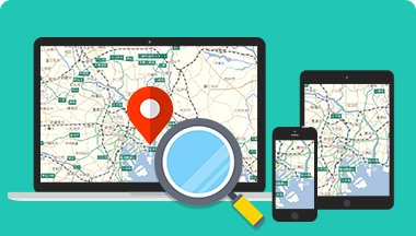
High-precision map data
It can be used in a wide range of GIS solutions.
Our digital maps, which have a proven track record and high reliability in car navigation systems and web services, can be widely used in GIS solutions.
By utilizing our extensive pedestrian flow data, which includes over 1 billion location data points acquired daily; our proprietary Facility alteration information list, which includes facility opening and commencement information up to three years in advance; and our road elevation data, which stores elevation values for each point on road links nationwide, our services can be used in a wide range of GIS fields, including market area analysis, disaster countermeasures, government support, and transportation planning. We also offer location-based research services that can be used for surveys.
Recommended Services
What GeoTechnologies
can offer


GeoTechnologies, Inc.' pedestrian flow data can be used for market area analysis, store planning, and more. This data is available as "Road Traffic Cloud" on MapFan API and "Pedestrian Flow Data" on MapFan DB.

I want to use future information such as planned openings of large stores and road construction schedules.

We independently collect information on facility changes up to three years in advance, such as store openings and new business launches, and provide it as a "Facility alteration information List" on MapFan DB. This can be used in the fields of area marketing and store planning.

I want to analyze whether there are areas where roads are flooded due to sudden heavy downpours.

MapFan DB 's road elevation data covers all roads, from highways and national roads to narrow streets, and can be used for road flooding analysis caused by torrential downpours and floods.