Strengths of GeoTechnologies, Inc.
In addition to our extensive experience and technology cultivated over many years in the field of digital mapping,
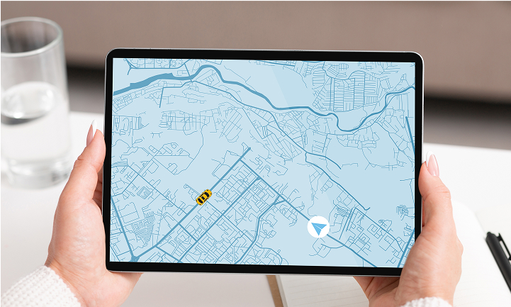
We utilize human flow data to meet a variety of corporate needs.
History of GeoTechnologies, Inc.
Founded in 1994, when GPS car navigation systems first became commercially available, the company has been active in the car navigation market.
GeoTechnologies boasts a top-class market share and track record.
Our map data is used by many car navigation system manufacturers
such as PIONEER CORPORATION which provides CARROZZERIA.
Our High-quality digital maps have met the expectations of the automotive industry, which demands high precision.
We will combine them with data on human movement to support companies in solving their challenges and developing new services.
Four reasons why GeoTechnologies, Inc. is the right choice
High-precision and up-to-date road data
GeoTechnologies, Inc. provides highly accurate and up-to-date map information based on its own independent research.
We conduct thorough road surveys across Japan where cars can travel. To date, we have traveled approximately 180 times the circumference of the Earth (a total of 7.2 million kilometers), and the combined images taken during the road surveys, images taken by people on foot, aerial photographs, and satellite images exceed 4 billion.
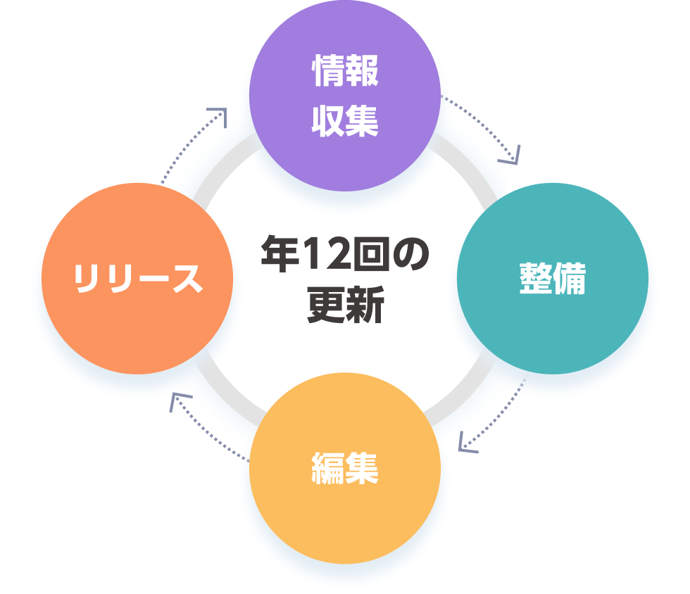
Supports 13 languages and 14 language variations.
Our company has been at the forefront of multilingualization of Japanese map data. For example, our "MapFan API" is currently the only one in the industry to support a total of 13 languages (14 variations), including Japanese, English, Chinese (simplified and traditional), Korean, Thai, Indonesian, German, French, Italian, Spanish, Portuguese, Russian, and Vietnamese.
We are constantly working to maintain our database in accordance with guidelines so that people from various countries can use an accurate and up-to-date map database and search data for all of Japan.

We provide a one-stop shop for everything our customers want.
We offer a one-stop solution to meet all your map-related needs. Beyond ASP services, we handle everything from map development and database construction to content planning and production in-house. For example, we can provide licenses for the "print use" of digital maps, which are frequently requested, as well as "offline map use" and other value-added content proposals. GeoTechnologies, Inc. can fulfill all your requests in a "single-company" solution.

Including sales proposals and technical support,
We will work closely with you to fulfill your requests.
The possibilities of digital maps are limitless. Our customers' requests are incredibly diverse, ranging from already concrete needs to potential, yet-to-be-formed desires. We are committed to flexibly responding to and proposing solutions for all of our customers' digital map-related needs.
Furthermore, we provide technical support not only at the developer level but also in an easy-to-understand manner for planning staff with limited technical knowledge. We are also constantly working to improve our online support, including a dedicated support website.
To fulfill our customers' requests, we will provide personalized support tailored to each individual customer.