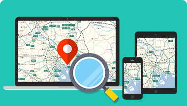
災害時に危険地域を通らずに避難・帰宅できる防災マップを作成したい。
地図データを自社で整備しているジオテクノロジーズが、
地図データで皆様の防災対策をサポートいたします。
日本では、地震、豪雨や台風、噴火などの災害が繰り返し起きています。
世界で発生するM6.0以上の地震の約2割が日本で発生しているというデータもあります。(*平成26年版 防災白書)
災害はいつどこで発生するか予測することが困難なため、日ごろから準備しておくことが大切となります。
地図データを自社で整備しているジオテクノロジーズでは、地図データで皆様の防災対策をサポートいたします。
おすすめのサービス
ジオテクノロジー
ズが提供できること


特定地域を回避する、または、特定の地域を経由するルート検索をすることが可能です。
事前に有効なルートを設定することで避難や帰宅の支援をいたします。

訪日外国人向けに、避難マップを紙で提供したい。

訪日外国人の95%をカバーする13言語の多言語地図を持ち、外国人の母国語での案内をサポートいたします。
また、地図を100%自社でデータ作成していますので、紙への印刷等の2次利用にも柔軟に対応いたします。

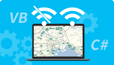
災害時、インターネット通信が利用できないような場合でも、基地局など設備の被害状況を地図上で把握したい。

オフラインで地図をご利用できる開発キットがあります。
地図データをスマートフォンやタブレットなどのローカル環境にインストールするため、インターネット接続しなくとも、地図上での施設情報の表示やルート検索を行うことが可能です。

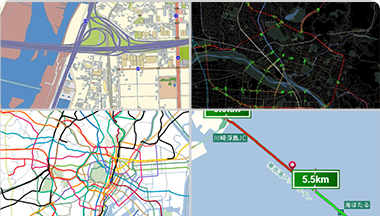
ゲリラ豪雨などで道路が冠水するところがあるか道路の情報から把握したい。
そして、そこを通らないように回避するルートを案内したい。

MapFan DBの道路標高データでは高速道路から国道、細街路まですべての道路を網羅しており、ゲリラ豪雨や洪水などの道路冠水分析をサポートいたします。
また、MapFan APIでは特定エリアの回避ルート検索が可能です。事前の避難計画にお役立てください。