What is Geocoding?


Geocoding
Many people have probably heard the term “geocoding” at least once. Geocoding means the assignment of geographical coordinates, such as latitude and longitude, based on an address or the name of a place.
For example, the address “2 Honkomagome, Bunkyo-ku, Tokyo” is converted into “latitude: 35.728287834526” and “longitude: 139.74869610784” using geocoding. A process of transforming a description of latitude and longitude to an address or a name of a place, on the other hand, is called “reverse geocoding”.
Then, why do we link address information with latitude and longitude?
This is because we want to visualize the position of a target place and/or share the information about a place.
For example, when you want to ask a delivery company to deliver a package, even if you inform the delivery company of your address (XXX, YYY-city), the package won’t be delivered unless the delivery company’s driver knows the “location” of the address. Visualizing the address, more specifically, by converting the address into latitude and longitude and displaying the information on a map helps the driver to recognize easily the delivery destination.
Moreover, when you tell a taxi driver where you want to go, on the other hand, if you tell him/her “I’d like to go to a place indicated in terms of latitude XXXXX and longitude YYYYY,” the taxi driver won’t be able to recognize the place easily. Furthermore, you won’t be able to reach the desired place unless the driver gets an exact numerical data of latitude and longitude.
In such a case, you convert the latitude and longitude information into an address and give the address to the taxi driver.
In other words, you can say that geocoding is a process that is necessary for humans and machines to mutually grasp the correct position of a place.
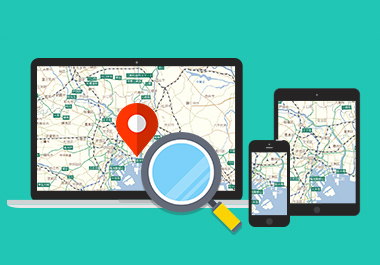
This time, I’d like to introduce how to use geocoding conveniently on a digital map as well as its basic mechanism in some detail.
How can we use geocoding?
A database accumulated in geocoding to make the connection between a name of a place and its coordinates is called a geocoding database, which can actually be used for a variety of purposes in business. Geocoding can broadly be used in many business settings such as simple data analysis, management of companies and clients, and logistics. Let me provide some examples of such uses of geocoding.
[Case 1] Registering location information of a massive amount of real-estate properties with map data
A real-estate company that manages more than 10,000 rental properties all over Japan posts all the properties locations on map on its website. Such property information is updated on a daily basis. However, it is not realistic in terms of time and resource to plot the position of each property manually among thousands of properties one by one.
In such a case, you can use geocoding to convert massive amounts of address data automatically into latitude and longitude data and store the information as map data. In this way, the real-estate company reduces the associated cost and posts fresh information on its website.

[Case 2] Mapping customers’ addresses to use the data for marketing
When a company relocates its office, it is quite difficult to find a new location that will satisfy every employee. In a case like this, you can also take advantage of geocoding. More specifically, you convert all the employees’ addresses into latitude/longitude data and plot the data on a map. This allows you to understand the distribution of employee residences, and therefore it will be possible to determine the optimum location of the new office in terms of commute hours and return home routes during a disaster.

[Case 3] Using reverse geocoding based on latitude & longitude information to obtain the address data
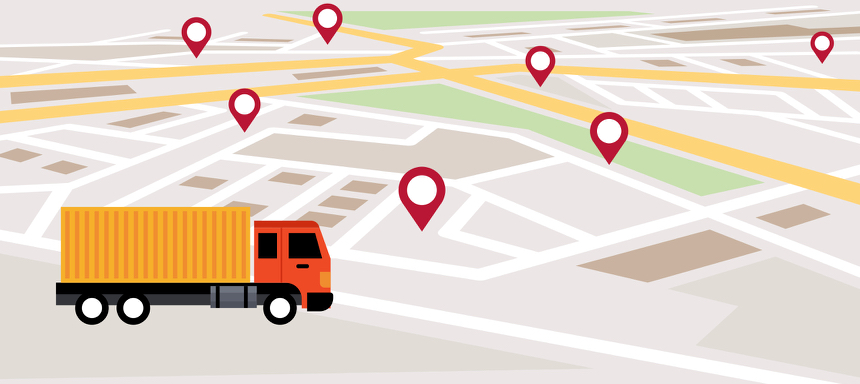
In the logistics industry, each truck driver must write up a daily driving report for continued safe driving and checking appropriate working conditions. In such a daily report, you are to write the start and end points of your operation on that day as well as major waypoints and rest points. However, it is not easy to grasp the address of each point. In such cases, you can use the technique of reverse geocoding. Specifically, you specify target points from the log of the latitude and longitude information obtained using GPS during working time, which allows you to obtain correct addresses of the target points and cut out the need of data entry.
Let's make a map world more convenient through the use of geocoding
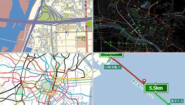
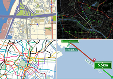
Searching a position from an address or a place on a digital map, which is nothing special today, wouldn’t have been realized without geocoding technology. The accuracy and freshness of the geocoding technology greatly affect those of map data themselves.
For MapFan DB provided by Increment P, various contents items are updated 12 times per year at most. Through periodic on-the-spot road survey, not only landmarks but intersections and traffic lights are recorded accurately in MapFan DB, contributing to accurate location information retrieval.
We also undertake geocoding services with large amount of location information database for your needs.
If you have any problems with geocoding or need the geocoding technology for your services that use maps, addresses, and any location related information., please feel free to contact us. INCREMENT P will help you assign location information to your database. We can also provide reverse geocoding service, which is a process of transforming location information (latitude and longitude) to the address information.
Click here to contact us for inquiry of map database and services.