Road Database

Our road network data has an extensive track record in a wide range of applications. This database, collected by road surveys throughout the country, contains approximately 1,200,000 kilometers of roadways, and is always kept up to date through regularly scheduled releases.

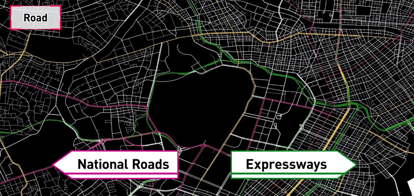
Road Network
We offer 1,200,000 km of high quality, high accuracy and up-to-date road data throughout Japan
- A rich lineup of in-link data, such as streetlights, lanes, number of lanes, direction information, road types, etc.
- Extensive data for traffic restrictions are featured, including no entries, one way roads, roads with time-specific restrictions, no turns allowed, etc.
- New roads and roads under repair throughout Japan are regularly updated
- Optional information is available for tolls (e.g. ETC), traffic restrictions by vehicle type, 30 km/h zones, stop signs and maximum speeds

Road Elevation
Detailed road elevation data is provided for individual road segments, including streets, throughout Japan
- Available for highways, national routes and streets
- Elevations are calculated with precision measurement equipment
- Includes elevation data not covered by the Digital Elevation Model (DEM), such as inside tunnels, bridges and grade separations
- Elevation data can be simulated in various ways by using road slopes

Road Travel Photos
Includes an archive of road photos taken during ongoing road surveys covering 1,200,000 km of roads throughout Japan
- Photos are continuously taken of the front and rear road views from a survey vehicle using a vehicle-mounted camera, with positional information attached to each photo
- Photos cover all roads throughout Japan down to the street level
- An archive of prior image data is also available
- A set of the photo archive and a special API for photo retrieval are available along with the archive
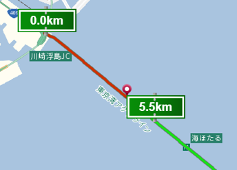
Kilometer Posts
Point data on highway location markers obtained by GeoTechnologies survey vehicles on highways
- Information on location markers on each highway is stored at intervals of 100 meters
- Kilometer posts are available for highways on which we maintain data (not available for urban expressways, non-high-standard roads and high-standard major roads that are not connected to highways)
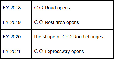
List of New Road Information
Road change information is provided up to three years in advance
- Covers information about the opening of new roads, widenings, road alignments,
toll elimination and opening of new road facilities
- Includes position information, such as start and end points of a road for each geodetic system
- In addition to current new roads, information is provided for new roads planned up to three years in advance
Map Display

For diversified devices such as car navigation systems, PCs and smartphones
Road

Road data collected throughout the country by GeoTechnologies survey vehicles
Address

Address data covering the whole country plays an important role
Point of Interest

Point of interest data can be used for all types of mapping purposes
Multilingual

The industry's first map database service that supports 14 languages